Drain Mapping Survey and Pipe Location Services | EDS

4.6 stars

view reviews

Why choose Express Drainage Solutions?

View our Case Studies

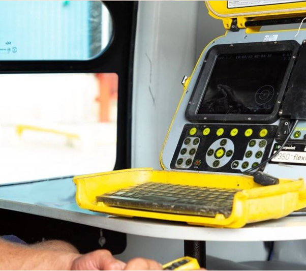
Latest mapping technology

Full CAD mapping

Over 20 years experience

We cover all of London & the South East

What is a Commercial Drain Mapping Survey?

A commercial drain mapping survey is a critical service for property managers, architects, and engineers. It involves the use of advanced techniques like CCTV drain surveys and GPS drain location to create a detailed map of the drainage system on your site. This process helps identify the location, depth, and condition of drains, helping your construction or maintenance plans proceed smoothly and without surprises. 

How Drain Mapping Works

Our drain mapping process combines cutting-edge technology with expert insight. We utilise CCTV drain surveys to visually inspect the drains, while GPS location tools provide precise positioning data. This combination allows us to generate an accurate and comprehensive drainage map. 

Sonde drain mapping is a technique used to accurately locate and trace the path of underground pipes and drains. A small, battery-powered transmitter called a “sonde” is attached to a flexible rod and pushed through the drain. As it travels, a receiver on the surface detects the signal from the sonde, allowing technicians to map out the drain’s exact route, depth, and any potential blockages or defects.

Get in touch with the team today to find out more about our drain mapping services.

Factors Affecting the Cost of Drain Mapping Surveys

The cost of a commercial drain mapping survey depends on several factors. The size of the site is a major determinant, as larger areas require more time and advanced equipment. The complexity of the underground drainage system also affects the cost; complex pipe layouts need more detailed diagnostics and data analysis. Finally, how easy it is to access the drains is important. Difficult access points require special techniques, which increases the time and resources needed to complete the survey to industry standards. 

Our transparent pricing model provides clarity and sets realistic expectations, ensuring no hidden surprises. 

When Drain Mapping is Needed

Drain mapping is essential in several scenarios: 

  • Before Groundwork: Ensure your construction plans align with existing drainage systems. 
  • Planning Applications: Support your applications with accurate drainage data. 
  • Maintenance Planning: Identify issues before they become costly problems.
     

By understanding when to carry out drain mapping, you can optimise your project’s efficiency and avoid unnecessary delays. 

call outs available 24/7

020 8979 5444

Email us

info@expressdrainagesolutions.co.uk

Our socials

Send us a message

Your Message

Frequently Asked Questions


What equipment do you use for drain mapping?


We use professional-grade CCTV cameras and state-of-the-art GPS tools to ensure precise results.


How long does a drain mapping survey take?


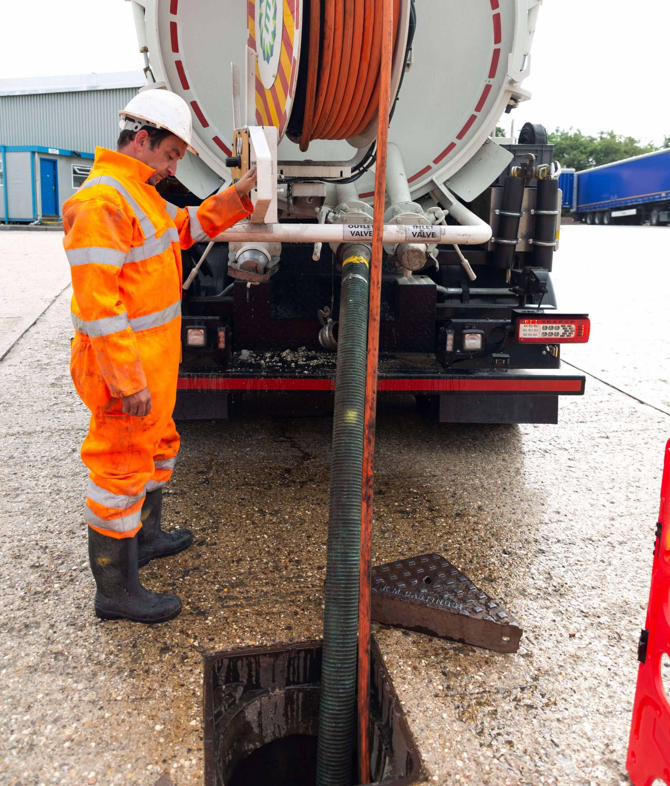
 2 hours on site for domestic then 5-7 days lead time to get the report but can be expedited for emergencies. For commercial sites, it can take 4-6 hours, but you also get the survey results within a week. Also, any obvious issues can be dealt with on-site if spotted by the engineers while conducting the survey.


Can I get a cost estimate before booking?


Yes, we provide a detailed cost breakdown tailored to your specific needs. 


What is Sonde drain mapping?


Sonde drain mapping is a method used to accurately trace the path of underground pipes and drains. It involves attaching a small transmitter, called a sonde, to a drain rod or camera which is then pushed through the pipe. As the sonde moves, a receiver on the surface detects its signal, allowing a technician to map the drain’s exact route, depth, and location without the need for excavation.

Core Services

Find your local engineer today

Enter your postcode
Express Drainage Solutions Reviews with ekomi.co.uk